
DJI Wants Drone Pilots to Turn Heritage Sites into 3D Flythroughs
DJI Enterprise's 2026 World Heritage 3D Conservation Initiative tasks drone mapping pilots with creating 3D flythrough videos of cultural and natural
Main Story
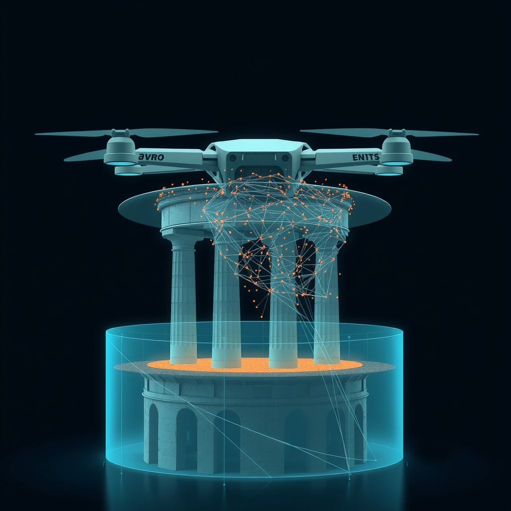
Drone mapping has long produced detailed 3D models that quietly accumulate on hard drives. DJI Enterprise is now asking the global survey community to do something with them. Launched on July 29, 2026, the 2026 World Heritage 3D Conservation Initiative is a structured competition that channels the existing skills of photogrammetry and LiDAR operators toward building a publicly visible digital archive of heritage sites — natural and cultural — before erosion, climate change, or simple time alters them.
The premise rests on a straightforward but often overlooked distinction: a photograph records only appearance, while a measured 3D model captures geometry, scale, and surface condition at a fixed moment in time, producing a record that is simultaneously a creative asset and a conservation reference.
Submissions close October 10, 2026. A People's Choice award follows on October 15, with an Excellence Showcase scheduled for November 3. DJI is offering camera prizes and global channel exposure to selected entries.
Two Categories, One Workflow
The initiative divides entries into two tracks. The cultural heritage category covers monuments, archaeological sites, architectural complexes, old villages, urban landmarks, and industrial or carved structures with historical, artistic, or scientific value. The natural heritage category spans mountains, lakes, forests, and any landscape valued for its ecology, geology, or scenic character — from globally recognised national parks to local terrain.
The prescribed workflow is end-to-end within DJI's own ecosystem: capture with a supported DJI drone platform, reconstruct in DJI Terra, generate and edit the flythrough in DJI Reality, and export an MP4. Recommended output is 4K at 60 fps, with a duration of 30 to 300 seconds. Entries must be posted to Instagram, Facebook, LinkedIn, YouTube, or X with the hashtags #DJIMapYourHeritage and #DJIEnterprise.
DJI Reality is available as a free download, removing the software licensing barrier that would otherwise separate a finished 3D reconstruction from a competition-ready video.
The Authenticity Rule
A notable clause in the contest rules explicitly bars the use of AI tools to fabricate or alter either the 3D model or the video. Entries that breach this are disqualified. DJI requires submissions to be authentic reconstructions built from genuine survey data — a sharper constraint than most manufacturer-sponsored competitions impose, and a meaningful one given how capable generative AI has become at producing plausible synthetic environments.
A separate licensing clause notes that, by entering, participants grant DJI a perpetual, royalty-free, worldwide licence to display and distribute submitted work. Participants are also individually responsible for ensuring their flights comply with local regulations at the filming location.
Reference Projects: From Everest to the Maya Lowlands
DJI's own campaign materials point to two operational case studies that bracket the initiative's technical ambitions.
At Mount Qomolangma's Khumbu Icefall, Nepalese operator Airlift Technology deployed a Matrice 4E to survey the shifting glacier at altitudes above 6,000 metres and temperatures below −20 °C. The Matrice 4E's five-directional imaging system covered over 3 square kilometres of the icefall in 3.5 hours. DJI Terra processed the imagery — using 3D Gaussian Splatting among other methods — into centimetre-level 3D models that give Icefall Doctors precise crevasse and serac locations before anyone steps onto the ice.
In Guatemala's El Mirador Basin, a Zenmuse L3 LiDAR sensor mounted on a Matrice 400 penetrated dense rainforest canopy to generate point clouds and digital elevation models of Maya ruins that photogrammetry alone could not resolve through the vegetation. Together, these two projects underline that drone-based reconstruction has moved from visualisation into operationally consequential survey territory.
An Expert Panel Spanning Heritage and Remote Sensing
Judging is handled by an eight-person panel whose credentials span heritage preservation, remote sensing, photogrammetry, reality capture, architecture, and cultural digitisation. Named panellists include University of Glasgow Professor Brian Barrett, Tianjin University Professor Li Zhe (Director of the Great Wall Research Center), World Monuments Fund Senior Vice President Jonathan S. Bell, heritage documentation specialist Pete Kelsey, Wuhan University Associate Professor Ji Zheng, and 2DIAMR CEO Michal Gula — alongside representatives from China Digital Culture Group and Xinhua News Agency.
Technical Breakdown
Platform options cited by DJI: Matrice 4E (photogrammetry / oblique capture); Matrice 400 with Zenmuse L3 (LiDAR + canopy penetration)
Sensor configurations:
- Matrice 4E: Five-directional oblique imaging system with mechanical shutter; survey-grade positioning; Smart 3D Capture Mode with in-camera distortion correction; integrates with DJI Terra for sub-2-pixel residual distortion accuracy
- Zenmuse L3: 1535 nm long-range LiDAR module with dual 100 MP RGB mapping cameras; maximum detection range of 950 m; up to 16 returns per pulse; linear, star-shaped, and non-repetitive scanning modes; capable of up to 100 km² coverage per day paired with Matrice 400
3D reconstruction formats supported: Mesh (photogrammetry), 3D Gaussian Splatting (3DGS), point cloud
Processing pipeline:
- DJI Terra v5.2+ / v5.3.5: Mission planning → 3D reconstruction (mesh, 3DGS, LiDAR point cloud); LiDAR processing for Zenmuse L3 is free without a paid licence; v5.2.0 added HEIF import, GeoTIFF (COG) export, automatic D-RTK 3 marks, and high-efficiency multi-core mode
- DJI Modify v1.6.0: LAZ support, ratio-based mesh reduction, block merging, custom-plane orthophoto export
- DJI Reality v1.0.0 (released April 9, 2026, as part of a combined package with Terra v5.2.0 and Modify v1.6.0): Turns mesh, 3DGS, or point-cloud reconstructions into navigable flythrough videos; free to download
Output specification: MP4, recommended 4K @ 60 fps, 30–300 seconds duration
Autonomy level: Mission-planned autonomous flight (pre-set routes with adjustable speed, overlap, and shooting distance parameters)
Demonstrated endurance/altitude: Matrice 4E operated above 6,000 m ASL, surveying 3+ km² of the Khumbu Icefall in approximately 3.5 hours on a single mission
Industry Impact
For mapping and survey operators: The initiative gives commercial survey teams a public-facing outlet for workflows they already run day-to-day. A 3D model that would otherwise sit in a project archive becomes a competition entry, a portfolio piece, and a potential global marketing asset — at essentially no additional software cost, since DJI Reality is free.
For the heritage sector: Drone-based photogrammetry and LiDAR are already in active use by academic institutions and cultural agencies, but access has been uneven and project outputs tend to remain siloed in institutional repositories. A crowd-sourced initiative that aggregates reconstructions across dozens or hundreds of sites — with standardised output formats — could meaningfully expand the publicly accessible digital heritage record.
For DJI Enterprise: The competition functions as a coordinated product demonstration at scale. Every qualifying entry runs through DJI Terra and DJI Reality, publicly showcasing the depth and coherence of the company's end-to-end geospatial software stack. The perpetual, royalty-free content licence DJI obtains from participants also gives the company a growing library of showcase footage produced by real operators on real sites.
For regulators and airspace managers: The initiative's explicit requirement that participants comply with local flight regulations — and the known complexity of flying near protected cultural or natural sites — may sharpen attention on how heritage-site airspace permissions are defined and issued in different jurisdictions. Several categories of eligible sites, including national parks in various countries, carry existing restrictions that operators must research and navigate independently.
For software integrators and competing platforms: The integrated Terra → Modify → Reality pipeline represents a deliberate effort to retain the entire post-processing and visualisation workflow within DJI's own toolchain. Operators accustomed to third-party photogrammetry platforms such as Agisoft Metashape or Bentley ContextCapture will find the competition's format requirements effectively mandate DJI Reality as the final output tool — a structural nudge toward platform consolidation that competing software vendors will need to monitor.