
"If You Fly, We Can't": Drone Incursions Still Disrupt Wildfire Response Across the West
Five unauthorized drone flights over Oregon's Wrights Spring Fire grounded firefighting aircraft. With 67 US incursions in 2026, agencies deploy count
Main Story
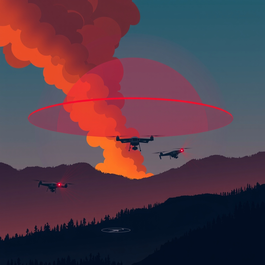
In Klamath County, Oregon, the incident management team running the Wrights Spring Fire had a problem that had nothing to do with wind, terrain, or fuel load. Unauthorized drones — five of them, spread across several days — were entering the Temporary Flight Restriction (TFR) above the active fire, and each time one appeared, aerial firefighting came to a halt.
Cheyne Rossbach, a spokesman for Northwest Incident Management Team 7 — the interagency body coordinating suppression efforts across the Pacific Northwest — confirmed the operational impact to DRONELIFE. Four of the incursions occurred at night, one in daylight. Together, those five intrusions grounded the team's own UAS platforms for one full night, eliminating the infrared reconnaissance and situational-awareness data that fire managers rely on to direct ground crews and aerial tankers in the dark.
The incident management team's own UAVs were being used to perform reconnaissance missions and gather infrared data on the fire before the incursions forced them down. Don Ferguson, a second team spokesman, told DRONELIFE the incidents could have had devastating results: the first consequence of an unauthorized drone sighting is that all aircraft — both the team's own drones and tactical fixed-wing and rotary assets — must immediately vacate the airspace. Officials have been unable to identify the pilots responsible or refer any citations.
The Wrights Spring Fire, burning in the Fremont-Winema National Forest approximately two miles west of Sprague River, ignited on August 5, 2026. By late August it had grown to approximately 55,500 acres and involved roughly 700 firefighting personnel, reaching around 65% containment. The Oregon State Fire Marshal confirmed a No Fly Zone TFR has been in effect 24 hours a day over the area since the fire's early days. Klamath County local outlet KDRV confirmed the fire's incident management team has been coordinating closely with law enforcement and partner agencies in response to the drone incursions.
The Wrights Spring situation is not an isolated event — it is the most recent data point in a measurably worsening national trend. The US Forest Service has reported 67 drone incursions near wildfires nationally in 2026 alone. Kenji Sugahara, Director of Oregon's Department of Aviation, confirmed to Aerial Fire Magazine that in 2025, there were 53 unauthorized drone incursions into wildfires nationwide, of which 44 directly interfered with or threatened aerial firefighting operations — establishing a baseline against which 2026's 67 incursions represents a significant year-on-year escalation.
August has been the most concentrated stretch of interference. The Spokane Complex fires in eastern Washington — comprising the Autumn Lane, Fairview, and Old Trails fires, which ignited on August 1 and burned across roughly 10,280 acres at zero containment by August 4 — became the most documented episode. Spokane County Sheriff John Nowels reported 26 drone incursions inside the restricted airspace on August 2 alone, four of them flying directly in the path of working firefighting aircraft. The following evening, a single drone grounded the fleet for approximately 30 minutes. By August 5, Washington's Department of Natural Resources had tracked at least 40 unauthorized drones in the TFR area. In New Mexico, separate incidents grounded air operations at the Frijoles Fire.
The Spokane episode also marked the first significant field deployment of a dedicated wildfire Counter-UAS response. The Washington State FBI Counter-UAS Task Force — which includes members of the King County Sheriff's Office, the Spokane County Sheriff's Office, the Seattle Police Department, and the Washington State Patrol — had originally been deployed on the western side of the state for the Boeing Seafair Air Show before being redirected to the fire zone. Task Force deputy Doug Hicks described the detection methodology: the system uses radar and radio frequency sensing to detect unauthorized drones the moment they launch, track the controller's location and the aircraft's flight profile, and enables electronic countermeasures that break the link between the drone and its operator. Once the link is broken, task force members can locate and approach the pilot. Hicks was explicit that electronic interdiction — not physical destruction — is the methodology: the goal is to bring the drone down safely and engage the operator directly.
In four days of operations over Spokane, the task force detected 41 unauthorized drones inside the TFR. The Sheriff's office identified multiple operators and referred citations to the FAA; at least one grounding lasted over an hour. FBI Supervisory Special Agent Phil Randolph posed the operational cost plainly: if aerial operations had continued during that hour, another neighborhood might have been saved.
On August 20, Oregon's Department of Aviation and Oregon Department of Emergency Management issued a joint warning to drone operators, invoking the phrase coined by the National Interagency Fire Center: "If you fly, we can't." The joint agency statement noted that drone detection equipment may be deployed at or near active wildfire incidents to identify unauthorized activity — formalizing what Spokane demonstrated operationally.
Technical Breakdown
Platform / UAV class affected: Firefighting UAV platforms operating under incident management teams perform reconnaissance and infrared data-gathering missions at low altitudes over active fire lines. Manned assets include aerial tankers and helicopters that operate at very low altitudes — often only a few hundred feet above ground level — placing them in the same airspace band occupied by consumer-class multi-rotor drones.
Airspace structure: The FAA imposes TFRs over active wildfire areas from the surface upward; the Spokane Complex TFRs extended from the surface up to and including 7,000 feet MSL, active 24 hours a day from August 2 through August 15. The Wrights Spring TFR similarly ran around the clock until lifted. Under FAA rules, all aircraft — including drones — are prohibited from operating within a TFR unless specifically authorized.
Detection technology: The FBI Counter-UAS Task Force deployed systems using radar and radio frequency sensing. According to FBI task force deputy Doug Hicks, the system detects drones at the moment of launch, tracks both the aircraft's position and the controller's location, and supports electronic countermeasures that interrupt the RF link between operator and aircraft. The US Forest Service has separately described counter-UAS systems capable of detecting drones the moment they are powered on, tracking the controller's location and the operator's flight profile. Drone identification is also possible via Remote ID signal on larger platforms; smaller drones can be tracked through controller RF emissions.
Collision risk geometry: Wildfire aerial assets — including fixed-wing air tankers and water-scooping aircraft — must operate at low altitudes during retardant drops and water scooping runs, placing them at direct collision risk with consumer drones. A precedent collision occurred in January 2025, when a small consumer drone struck a Canadair CL-415 Super Scooper during the Palisades wildfire, leaving a football-sized hole in the aircraft's left wing and grounding it for days.
Autonomy / human-in-the-loop: The counter-UAS response at Spokane was explicitly human-in-the-loop: electronic countermeasures were used to disrupt the drone-controller link, after which human task force members physically located the operator. Authorities confirmed the methodology is detection and electronic interdiction, not autonomous interception or physical destruction.
Industry Impact
For operators and commercial UAS professionals: The FAA's 2026 enforcement posture removes the compliance-conversation option that previously applied to first-time or low-severity violations. Under updated 2026 policy, airspace violations that endanger the public or violate TFR restrictions now trigger mandatory legal action rather than educational outreach. Civil penalties can reach $75,000 per violation; criminal exposure under 18 U.S. Code §39B (unsafe operation of an unmanned aircraft) and §40A (unauthorized UAS operation over wildfires) can result in fines up to $250,000 and prison terms. Between 2023 and 2025, the FAA issued 18 enforcement penalties ranging from $1,771 to $36,770, with the highest fine in that tranche issued to a pilot who flew near emergency response aircraft during a wildfire. The 2025 guilty plea in the Super Scooper collision case established a criminal precedent, and a 2026 case in Colorado saw a drone pilot face federal charges after forcing a halt to air operations at the Aspen Acres Fire.
For counter-UAS technology developers: The Spokane Complex deployment establishes wildfire TFR airspace as a new, recurring operational environment for counter-UAS systems — extending the market beyond its traditional concentration in stadiums, airports, and VIP protection. The FBI's July 2026 Interim Final Rule from DOJ and DHS introduced a two-tier certification framework for state, local, tribal, and territorial agencies: Detection and Warning, and Mitigation. Detection data gathered at Spokane is feeding directly into FAA enforcement referrals, creating a feedback loop from field detection to formal penalty that was not previously operational at wildfire incidents.
For incident management teams and regulators: The Wrights Spring episode highlighted an asymmetric gap: incident management teams operate their own authorized UAS for infrared reconnaissance and situational awareness, but those platforms must be grounded whenever an unauthorized drone appears — leaving ground crews without real-time aerial data during the most critical suppression windows. Agencies are now coordinating drone detection deployments as a standard component of aerial firefighting operations on major incidents, mirroring the suppression-aircraft pre-positioning that has long been standard practice. Oregon's 2.4 million acres burned in 2026 — already exceeding all of 2025 — ensures that demand for detection capability will continue to scale with fire season severity.
For insurers and investors: The escalating national incident count (53 in 2025 to 67 in 2026) and the documented operational and structural damage from the Spokane fires provide quantifiable loss data for insurers modelling wildfire suppression disruption risk. The broadening legal liability profile for unauthorized operators — spanning civil FAA penalties, certificate revocation, and federal criminal prosecution — is also reshaping the risk calculus for recreational drone manufacturers whose consumer products appear most frequently in TFR violation cases.