
This DJI Drone Mapped Everest's Killer Icefall Without Risking a Single Life
DJI's Matrice 4E mapped 3 km² of Everest's Khumbu Icefall in 3.5 hrs using DJI Terra 3D Gaussian Splatting — replacing weeks of hazardous on-foot surv
Main Story
For generations, the Khumbu Icefall has been the most lethal kilometre on the standard Everest route. Stretching between Base Camp at 5,364 metres and Camp 1 at roughly 6,500 metres, it is a continuously shifting labyrinth of deep crevasses, towering seracs, and ice blocks that can collapse without warning. Every year, a team of eight to ten Sherpas known as "Icefall Doctors" must traverse it on foot — setting ladders, fixing ropes, and marking the route that every subsequent climber will follow — before a single paying expedition member arrives.
Traditionally, completing that survey required two to three weeks of work under constant threat of collapse. A ground-based LiDAR survey conducted in 2019 required over two months to complete. In spring 2026, a DJI Matrice 4E operated by Kathmandu-based Airlift Technology compressed that entire process into a single 3.5-hour autonomous flight.
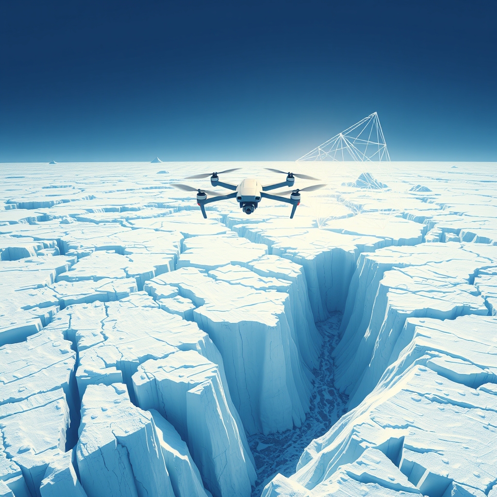
On July 20, 2026, DJI released a video case study documenting the deployment, produced in partnership with Airlift Technology. The workflow comprised three components: aerial data collection with the Matrice 4E, 3D model generation with DJI Terra, and day-by-day comparative analysis of how the glacier was moving. Flying pre-planned waypoint missions at altitudes above 6,000 metres and in temperatures below -20°C, the drone surveyed more than 3 km² of the icefall's core area — covering Base Camp, the full icefall section, and the zone above Camp 1 — without any personnel needing to enter the survey area.
The collected imagery was processed in DJI Terra, which reconstructed the icefall as a high-precision 3D model using next-generation reconstruction methods including 3D Gaussian Splatting. The output gave Icefall Doctors centimetre-level maps of every crevasse location, surface displacement, and serac position before any route decision was made.
The drone mapping proved especially consequential during a mid-season crisis: a rare, large-scale serac field formed overnight, blocking every route through the icefall and leaving hundreds of climbers stranded at Base Camp. Using continuously updated aerial surveys and 3D models, Icefall Doctors were able to assess the changing terrain and rebuild blocked routes significantly faster than traditional methods would have allowed. Independent reporting from Nepal confirms that drone imaging played a meaningful role in monitoring the serac throughout the standoff, though it is worth noting — as outside observers have — that the serac remained physically impassable until a section collapsed naturally, and the icefall doctors' physical labour of installing ladders and stringing fixed rope remained as essential as ever. Drone data is planning intelligence; it does not replace the physical work.
"To our knowledge, this is the first deployment of its kind in Nepal, and potentially one of the first real-world operational uses globally at this scale in a high-altitude expedition environment," said Raj Bikram Maharjan, CEO of Airlift Technology, in DJI's press release.
Beyond route safety, the accumulation of season-by-season 3D records of the Khumbu Icefall represents a nascent glacier monitoring dataset. That potential secondary application — climate research — has not yet been independently peer-reviewed or published, but it reflects a genuine second use case for the data beyond near-term expedition safety.
Technical Breakdown
Platform: DJI Matrice 4E (compact enterprise multi-sensor drone, foldable airframe)
UAV Class: Sub-2 kg enterprise mapping platform (~1.22 kg takeoff weight)
Sensors:
- Wide camera: 4/3-inch CMOS, 20 MP, mechanical shutter, adjustable aperture f/2.8–f/11 (primary mapping sensor)
- Medium telephoto: 1/1.3-inch CMOS, 48 MP
- Telephoto: 1/1.5-inch CMOS, 48 MP, up to 112× hybrid zoom
- Laser Range Finder: measurement range up to 1,800 m, used for real-time terrain distance measurement
- Omnidirectional binocular vision and 3D infrared bottom sensor for obstacle avoidance
Propulsion: Electric quadrotor; standard and low-noise propeller options
Endurance: Up to 49 minutes (at sea level; operational endurance at 6,000+ m altitude reduced by thin air)
Positioning / Autonomy: Built-in RTK GNSS module delivering ±1 cm + 1 ppm horizontal accuracy (RTK fix); GNSS+Vision Fusion; pre-planned waypoint missions (Level 3 autonomy — automated waypoint flight with operator oversight)
Transmission: O4 Enterprise system, 8-antenna array, up to 25 km range, AES-256 encryption
Operating environment: -20°C to 40°C; deployed at >6,000 m altitude in temperatures below -20°C
Survey output: 3+ km² covered in 3.5 hours; five-directional imaging system captured high-resolution oblique imagery of complex vertical structures in a single sortie
Post-processing: DJI Terra (3D modelling software); reconstruction pipeline employs 3D Gaussian Splatting — a radiance-field technique that represents scenes as overlapping Gaussian ellipsoids, delivering photorealistic, distortion-free orthomosaics faster than traditional mesh photogrammetry. Multi-temporal 3D models compared day-by-day to track surface displacement, crevasse migration, and serac instability.
Industry Impact
For operators and survey firms: The Khumbu Icefall deployment is the most demanding real-world stress test a compact enterprise mapping drone has publicly cleared — 6,000+ m altitude, sub-zero temperatures, no ground support within the survey perimeter. The operational data will be closely studied by firms considering high-altitude infrastructure inspection (hydropower, telecommunications, remote construction) where similar environmental envelopes apply.
For the mountaineering and SAR sector: The workflow compresses multi-week reconnaissance into a single day, fundamentally changing the economics and safety calculus of pre-season route-setting. Any expedition operator or government search-and-rescue agency managing glaciated terrain now has a replicable, commercially available template — one that requires no bespoke hardware.
For DJI's enterprise positioning: Publishing a vendor case study of this visual and operational weight is a deliberate market signal. The Matrice 4E + DJI Terra stack is being positioned not merely as a survey tool but as a safety-critical decision-support system. That framing shifts the conversation from unit price to mission-criticality — a higher-value market segment.
For DJI Terra and the 3DGS ecosystem: The Khumbu deployment is the first high-profile operational use of DJI Terra's 3D Gaussian Splatting pipeline on dynamic, high-hazard terrain. It validates Gaussian Splatting as a viable reconstruction method beyond controlled construction and urban planning use cases — and will likely accelerate adoption in environmental monitoring, glacier science, and disaster-response mapping.
For regulators: Nepal permitted drone operations above 6,000 m in an environmentally sensitive, internationally high-profile location. How that authorisation was obtained and structured will be of interest to other civil aviation authorities developing frameworks for high-altitude commercial UAV operations — a regulatory category that is still nascent in most jurisdictions.
For investors and integrators: The secondary data value of accumulated glacier surveys — as a climate monitoring product — is not yet monetised or independently validated, but it introduces a potential recurring revenue model (annual survey contracts, glacier data licensing) on top of the one-time equipment and software sale.